Mindanao island
Mindanao the second large island
Mindanao Island is the second largest island of the Philippines and locates in the south of the Philippines Archipel. From Manila the capital of the Philippines it takes a bit more than an hour by plane. The distance from Mindanao to the Indonesian neighbour islands Kalimantan and Sulawesi isn’t so far. Manado in the north of Sulawesi is the next closest big city in the south.
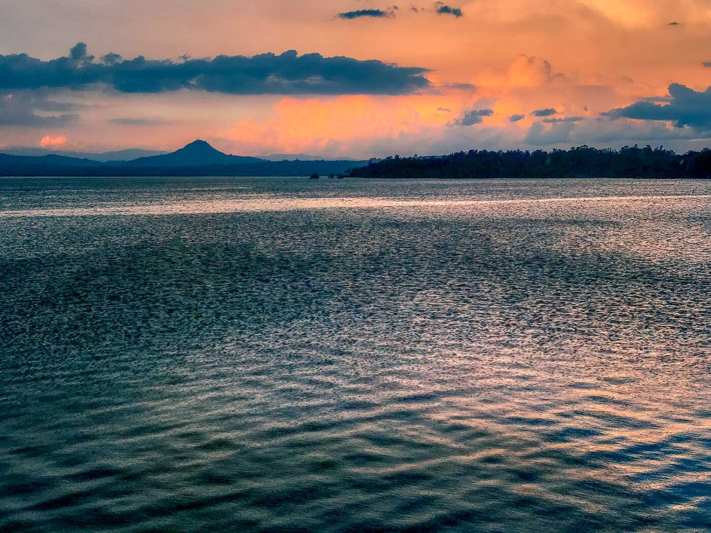
The centre and the east part of the island are almost mountainous. But in general, however, the terrain changes between lowlands and mountains. Mount Apo is the highest peak and an active volcano. Vulcanism spreads out over the whole island. Most areas still cover rainforests. Almost a quarter of the philippine population lives on Mindanao island.
The biggest lake is Lake Lanao, feeding the Agus river. Several hydroelectric power plants operate along the Agus river to provide electricity to the island. The biggest river starts in the central highlands as the Pulangi river and later meanders southward as the Mindanao river.
Mindanao is the second largest island of the Philippines with a high diversity of languages, cultures and religions. It’s an island with a history back to prehistoric times.
Many beautiful waterfalls are tourist hotspots. For instance, the Maria Cristina falls near Iligan city or the Limunsudan Falls which is 240 m high and therefore the highest in the Philippines.
Coconuts and mangos
The island close to the equator has a tropical climate. However, there are only two seasons. It is evident that agriculture is an important business on the island. Rice fields and banana or coconut plantations are omnipresent. As well as mango and pineapple plantations.
The tropical climate makes it possible. However, electricity generation, steel production and fertiliser plants are also essential industries.

