The Jebel Aulia dam and reservoir is the second-largest water reservoir in Sudan. The dam locates around 45 km upstream south of Khartoum the capital of Sudan. So far, it’s one hour away from Khartoum by car. The White Nile feeds the reservoir and shapes thus the Jebel Aulia reservoir.
The source of the White Nile locates in Uganda. The confluence of the White Nile and the Blue Nile to the River Nile is in Khartoum. After a long way across the Nubian desert and Egypt, the Nile finally discharges into the Mediterranean Sea in North Egypt.
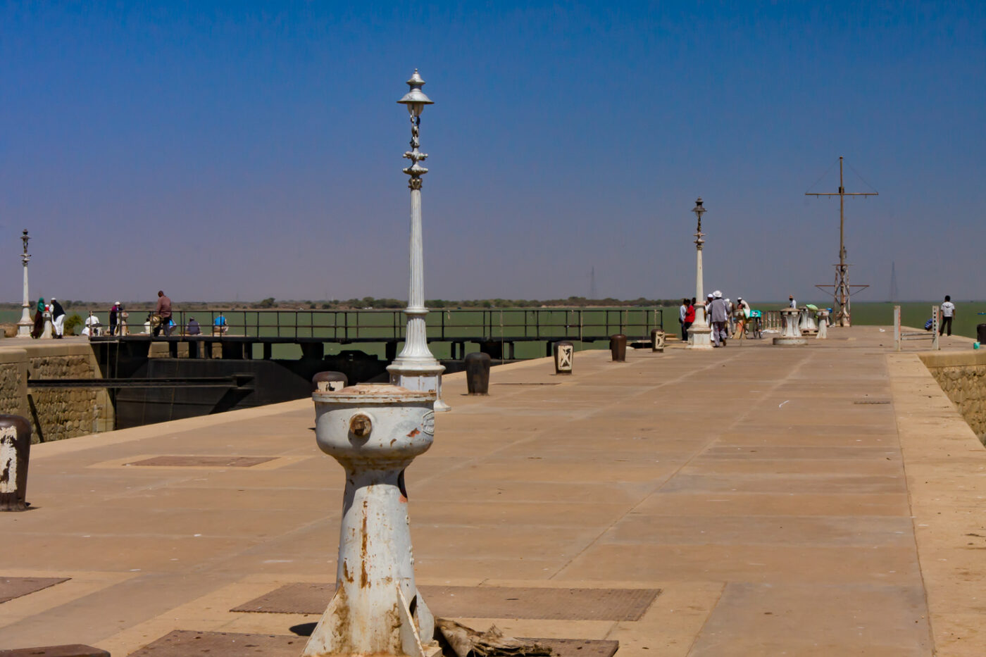
A road is open on the dam crest to cross the dam. Moreover, the dam has a floodgate and a bascule bridge to keep the White Nile navigable. Irrigation, power generation and recreation the Jebel Aulia dam is used for many things.
The Jebel Aulia dam builds up an approximately 45 km long reservoir. The chronology of the dam dates back to the year 1930. Back then, the dam was built by a British company to avoid Nile floods. The 4,4 km long dam had completed in 1937. One part of the dam has a brick wall. While a second part of the dam has a mound of stones and soil.
However, the main purpose of the dam is to control the level of the River Nile downstream. One of the fascinating places on the dam is the fish pass indeed. It’s funny to watch how the fishes try to jump step by step upstairs. It seems the White Nile is very rich in fish. For the fishers, it’s simply a little matter to catch one.
On the west bank, many trees spend shadow there. It’s obvious, that many locals enjoy the weekend in this place. Nevertheless, one of our Sudanese friends invites us to visit his house near the dam. We spend the afternoon in the shadow of huge mango trees. With our bought Nile fish we got a wonderful lunch. Delicious freshly prepared mango juice and Sudanese-style coffee made ultimately the day perfect.

